Aquatic Plant Surveys
Part of our lake stewardship is to conduct monthly and yearly surveys of aquatic vegetation. Those surveys provide data so we can make informed decisions.
Our own monthly lake surveys (May through September) are done by Kathy and Rick Durkin and Rob Pogue. Using GPS and a 10-foot pole weed-rake, they visit the same 28 locations on the lake and document weed types and densities.
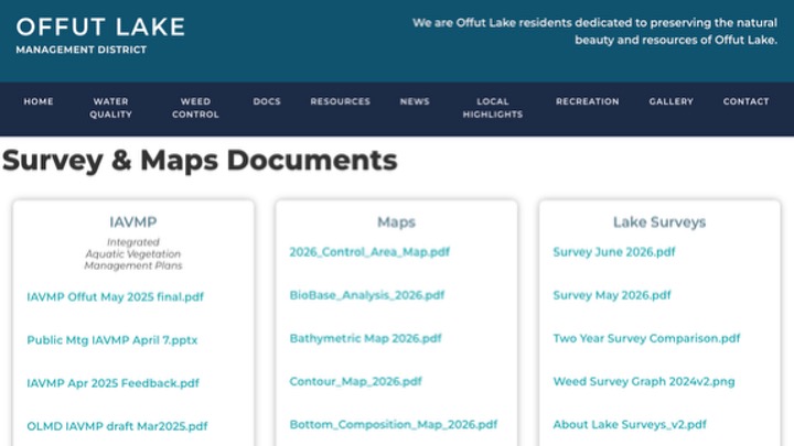
We post our monthly lake survey reports on the DOCS > SURVEYS & MAPS page of our website. You can see the most recent survey results with this quick LINK. You can also learn more about weed surveys in general at this LINK.
This year we also contracted with Aquatechnex to do both a Spring Aquatic Plant Survey and a Biobase Survey. During the surveys, software records and identifies plant species, shows where they are growing and their biomass (density) within the water column. This information enables precise calculations for treatment of designated areas. Here are the maps produced by Aquatechnex’s recent surveys:
2026 Survey Maps