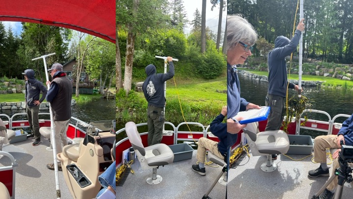
Our next lake weed survey will be on Monday, June 10th. Our survey team uses GPS coordinates to visit the same 25 locations on our lake each month (May thru September). This helps us chart any growth trends. At each location the team does a weed pull recording:
- Each weed found
- Weed dominance (see below)
- Lake bottom characteristics
- Water depth at sample point
- Distance from shore
The dominance levels are:
4 = thick, excludes others
3 = Nearly mono-specific patches
2 = Few, wide patches
1 = Few, in 1-3 locations
T = Trace 1-3 plants
Soon after completion the results will be posted on the DOCS page of our website.
Click this LINK to view May’s Lake Survey.


